


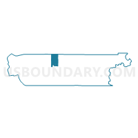
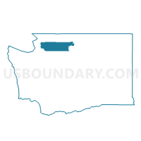
Alder Voting District, Skagit County, Washington
About
Outline

Summary
| Unique Area Identifier | 688402 |
| Name | Alder Voting District |
| County | Skagit County |
| State | Washington |
| Area (square miles) | 42.79 |
| Land Area (square miles) | 42.45 |
| Water Area (square miles) | 0.34 |
| % of Land Area | 99.21 |
| % of Water Area | 0.79 |
| Latitude of the Internal Point | 48.57424230 |
| Longtitude of the Internal Point | -121.97508550 |
Maps

Graphs
Select a template below for downloading or customizing gragh for Alder Voting District, Skagit County, Washington


Neighbors
Neighoring Voting District (by Name) Neighboring Voting District on the Map
- Voting District 144, Whatcom County, WA
- Birdsview Voting District, Skagit County, WA
- Hamilton Voting District, Skagit County, WA
- Minkler Voting District, Skagit County, WA
- Mount Baker National Forest Leg 42, Whatcom County, WA
- Sauk Voting District, Skagit County, WA
- Tingley Voting District, Skagit County, WA
Top 10 Neighboring County Subdivision (by Population) Neighboring County Subdivision on the Map
Top 10 Neighboring Place (by Population) Neighboring Place on the Map
Top 10 Neighboring Unified School District (by Population) Neighboring Unified School District on the Map
- Sedro-Woolley School District, WA (26,212)
- Mount Baker School District, WA (14,352)
- Concrete School District, WA (4,840)